Efficient Route Planning for Tree Watering with tourPlanner

From tree inventory to service documentation: During dry periods, tourPlanner turns your tree inventory into ready-to-use watering routes. Your crews complete their jobs in the field, while your clients automatically receive documentation of the completed work by email.

Request a quote  Request a consultation

The Reality of Tree Watering

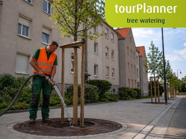
Tree watering doesn’t follow a fixed schedule. Whether trees need watering depends on rainfall, temperature, and site conditions—across streets, parks, new developments, and entire neighborhoods.

As long as there are only a few dozen trees, this can be managed with experience and on-the-fly decision-making. But with several thousand trees across multiple locations, every dry spell becomes a stress test: Watering lists are created manually from the tree inventory, crews search for individual trees, some streets are visited twice, while others are missed. And overlooking just one young tree during the establishment period can cost many times more in removal and replacement than watering it would have.

That’s exactly what tourPlanner is designed for: tree data, tree groups, routes, and documentation all come together in a single digital workflow—from tree inventory to billing.

How It Works

The Complete Tree Watering Process – All in One Workflow

When dry conditions set in, everything that follows is handled in one seamless workflow—without switching between systems or entering data twice. And the process doesn’t end when the last tree has been watered: documentation, client reporting, and billing are all part of the workflow.

Plan. Execute.
Document. Optimize.

  1. Dry conditions occur
  2. Plan tree groups into routes
  3. Assign teams
  4. Water trees
  5. Confirm quantity
  6. Create proof of service
  7. Inform the client
  8. Invoice & optimize

A proven process

From planning to continuous optimization

Planning

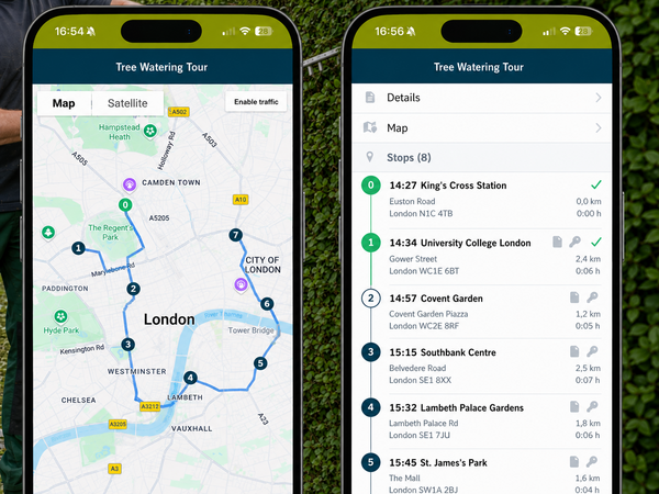
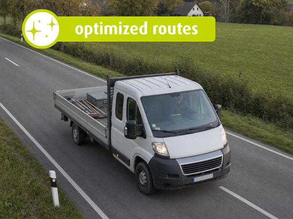
Your tree inventory is turned into ready-to-go routes

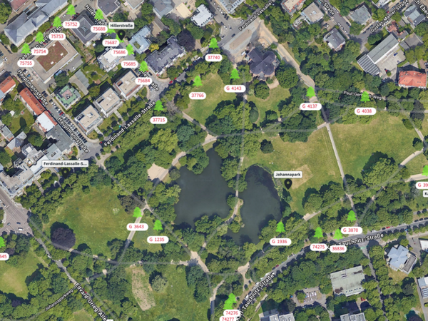
Your trees are organized in geoCapture into tree groups: trees located close to one another that can be handled as a single job. During dry periods, geoCapture suggests the relevant groups, creates ready-to-go daily routes, and provides a map for each group showing all trees in miamapo.

  • Jobs in, ready-to-go routes out
  • No tree is forgotten
  • With miamapo: a field map for every route

In the Field

Everything your crews need in the field

Your crews receive the planned route directly on their phones or tablets—complete with navigation to each tree group and a miamapo map showing every tree with its number and species. The crew simply works through the trees in the group. There’s no need to open and complete every single tree as a separate job.

Back at the office, dispatchers and management can see at any time which tree groups have been completed and which are still pending.

  • Complete Routes Faster
  • Track working hours per tree group
  • Real-time status of the routes

Documentation

Document Completed Work with EaseSimple documentation

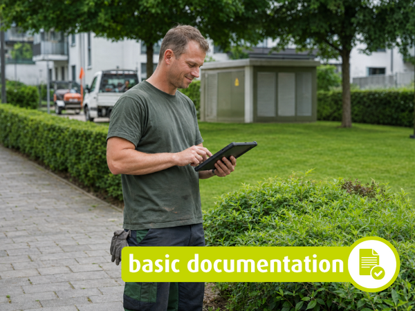
After each group of trees, your team confirms the number of trees watered. geoCapture automatically records arrival, departure, and work time via GPS. Your employees use fieldFlow to document special circumstances, such as a blocked access road or a missing tree—with a photo if desired.

This way, the completion report—including the list of irrigated trees—is sent directly to your client. And if a tree is missing, the gap remains visible instead of being overlooked.

  • Client Notified Immediately
  • Confidence in warranty maintenance

Continuous Optimization

Every route makes the next one better

After each route, the planned time for each tree group is compared with the actual time spent. This helps you identify challenging groups and plan future watering routes more accurately. New plantings can be added to existing tree groups at any time, with tree counts and time estimates updating automatically. And with geoConnect, the confirmed quantities are transferred directly to your billing system—without duplicate data entry.

  • Add new trees at any time
  • Optimization Based on Real Data
  • Billing without duplicate data entry

Your Results

What Will Change in Your Business

Shorter travel distances are just the beginning. The biggest benefit lies in smoother day-to-day operations.

No tree will be forgotten

Each group of trees has a set number. If your team returns with fewer, the gap will remain visible until the tree has been watered.

Fewer phone calls

Your teams see clusters of trees, maps, and instructions on their cell phones. And your client doesn't have to ask for anything: The report is in their inbox after the mission.

Faster billing

Irrigation volumes, times, and GPS records are assigned to each group of trees and are transferred to the ERP system via geoConnect. No one has to enter the data a second time.

Knowledge stays within the company

Locations, access routes, and special features are stored in the system rather than just in the minds of experienced drivers. Even an unfamiliar convoy can find every tree.

We can no longer imagine working without geoCapture

Mitarbeiter der Quathamer GmbH steht vor grünem Traktor im landwirtschaftlichen Betrieb

Markus Quathamer

Managing Director, Quathamer, LLC

Frequently Asked Questions

The Next Step

Get to know tourPlanner with a free demo

In the demo, we’ll walk you through the entire process using your own sites as an example—from mapping the area in miamapo to the final service documentation. No obligation and no preparation required.

Request a consultation